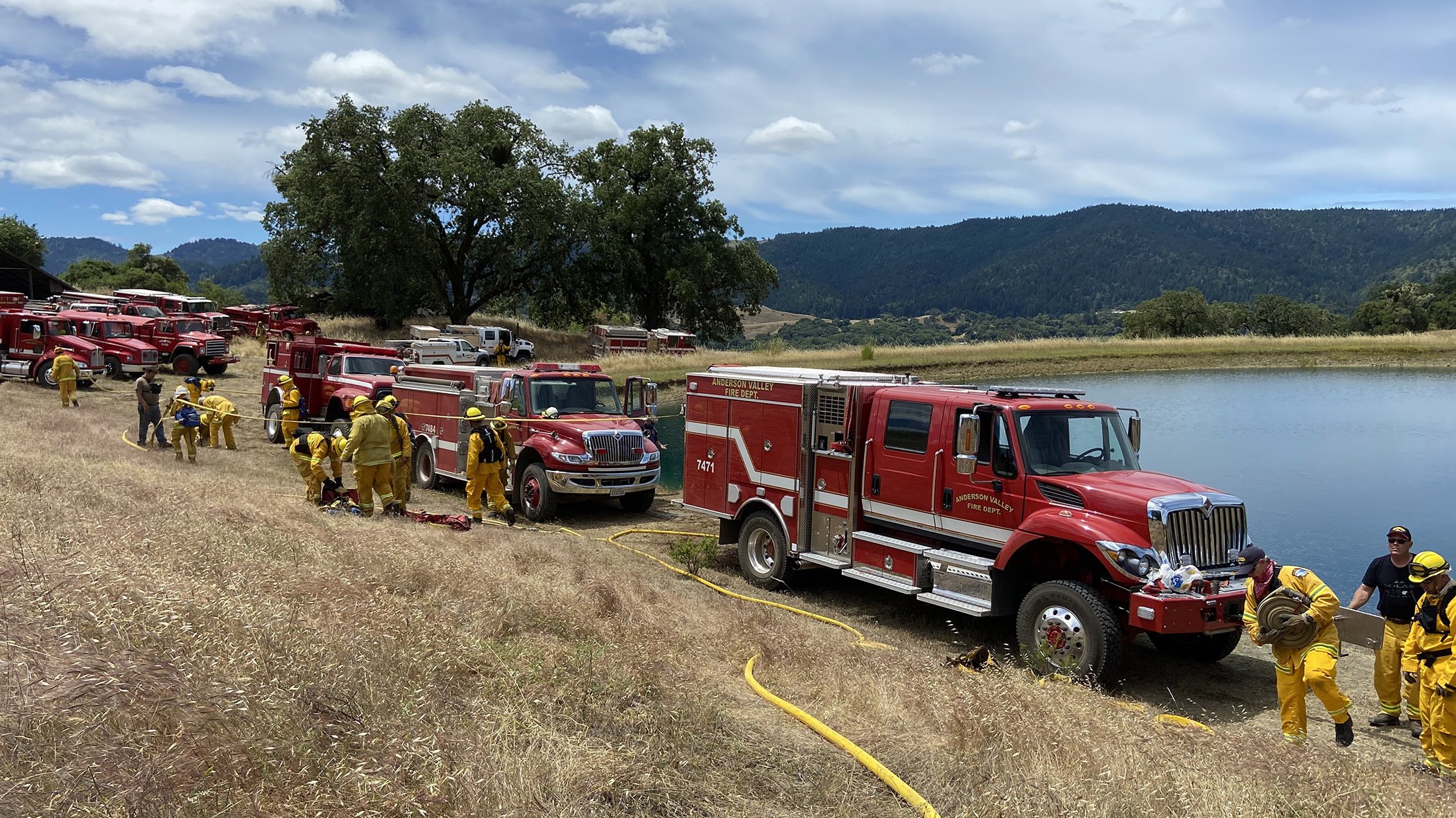
Anderson Valley Fire Department
Locals Providing Medical, Fire, and Rescue Services to Neighbors in Need Since 1955
Ambulance Membership
Emergency medical services are a community effort!
Your ambulance membership covers your houshold in the event that you need emergency transport. Memberships are also the primary source of funding for our ambulance service.
Did you know our membership cycle runs July 1–June 30?
Make sure you’ve signed up for the 2023-2024 year.
Regional Dashboard
Smoke Cameras
Monitor for smoke and new fire starts. This resource is especially valuable after lightning events.
Air Quality
Real-time air quality
Smoke Map
Learn more about where smoke may be coming from.
Real Time Lightning Map
A Community project with free lightning maps and apps.
PFIRS
Map of current ignitions in the Prescribed Fire Information Reporting System.
Fire Map
For information on active fire perimeters across the country, use UCSD’s WIFIRE Firemap tool for satellite heat imaging and more.
Cal Fire Incidents
Map of active fires of interest, plus more fire season statistics.
Sign Up to Receive Emergency Notifications
If you sign up for only one, Mendocino County OES recommends MendoAlerts.
Mendo Alerts
Make an account today to receive notifications via text, phone, and/or email for incidents affecting your home, work, or other significant addresses of your choosing.
Nixle
Nixle is Mendocino County’s secondary alert system. Register to receive alerts for incidents affecting your zip code by texting your zip code to 888777. Nixle is NOT a substitute for Mendo Alerts.
With many newly named roads in the district, it can be hard to keep up. This map is a resource for names and locations of named roads throughout the district.
Anderson Valley Road Index
Know your evacuation zone!
Evacuating portions of the county or local jurisdiction may be required in the event of an emergency. Evacuations protect life by keeping people clear of hazardous conditions. The evacuation zones are based upon topographic, infrastructure, threat, and census data. If an evacuation is ordered, officials will reference the evacuation zone name in the public messaging.
ABOUT AVFD
Neighbors helping neighbors.
Read about our mission, core commitments and long range plan.
PREPAREDNESS IS YOUR FIRST LINE OF DEFENSE
Take Action
The steps you take before a fire or medical emergency can affect the outcome. Learn about signage, defensible space, evacuation, and more.


